NASA satellite images reveal the flowering Atacama
The new analysis compares September and October 2026 imagery. Assessments of a possible record are attributed to the researchers.
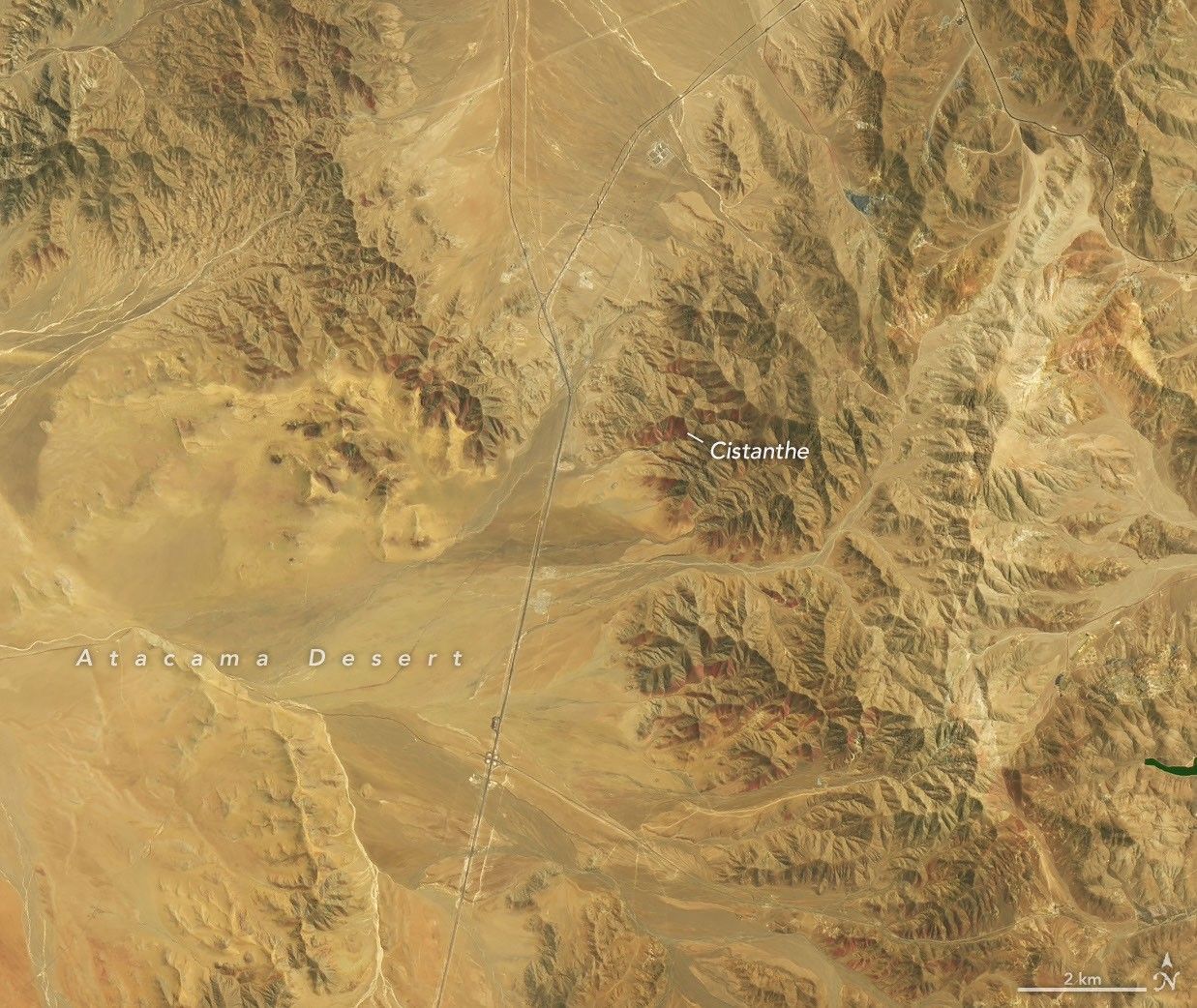
NASA Earth Observatory presents a new satellite comparison of the flowering Atacama in an analysis published on 19 November. The images show areas southwest of Copiapó in northern Chile on 14 September and 24 October 2026, rather than the desert’s present-day condition.
Landsat 8 captured the September images and Landsat 9 the October views. The comparison reveals changing vegetation and red-purple flowering patches across the normally arid landscape.
Andres Moreira-Muñoz, a scientist at Pontificia Universidad Católica de Valparaíso, estimates in NASA’s analysis that this year’s bloom may be the most significant in extent, intensity and duration since satellite observations began. This is an attributed research assessment with that qualification, rather than a conclusively certified record.
NASA links the bloom to Southern Hemisphere winter rains that awakened dormant seeds. Researchers are combining satellite data, drones and field photographs to track biodiversity and help inform management and conservation of the area.
English translation of the Greek edition · Read in Greek